CAPE COLONY
Sold
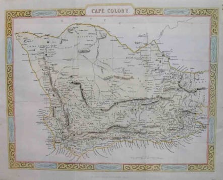
Detailed map of the Cape Colony with decrative border.Shows roads rivers mountains etc.Hand colour.Very good condition. SOLD
code : M2029
Cartographer : John
Date : 1865c London
Size : 26*33cms
availability : Sold
Price : Sold
John Rapkin (1815-1876) drew and engraved the maps for John Tallis’ renowned "Illustrated Atlas" published to coincide with the great exhibition in London in 1851. The maps were also later re-issued by the London Printing and Publishing Company, still bearing the Tallis imprint. Rapkin’s style is elegant and clear and considerable geographical detail and nomenclature is shown on the maps.