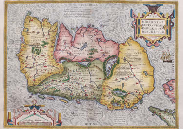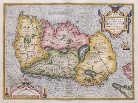
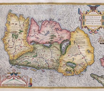
ERYN HIBERNIAE BRITANNICAE INSULAE NOVA DESCRIPTIO IRLANDT
£1250
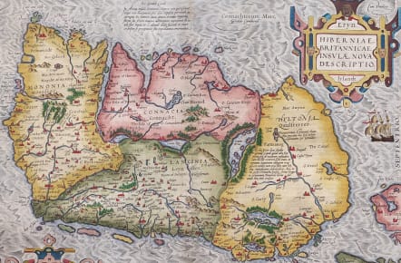
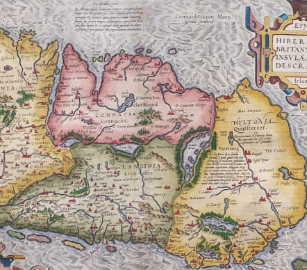
This superb map was based on Mercator's 1564 wall map of the British Isles and is presented with west oriented to the top. This is the first map of Ireland to include any geographic details; its predecessors being crudely drawn Italian maps. It is divided into counties and shows towns, rivers, lakes, forests, coastal islands and a host of other details. There are several Latin annotations throughout the map. The map is typical of Ortelius' refined style with bold strapwork title and scale cartouches and a pair of ships in the stormy sea off the northern coastline.
An essential map for collectors of early maps of Ireland and certainly one of the most attactive of all Irish maps. Nice full color example with wide clean margins.
Excellent hand colour
Very good condition.
Reference: van den Broecke, Ortelius maps 22. Koeman Atlantes Neerlandici III: 57
code : M5592
Cartographer : Ortelius Abraham
Date : 1595
Size : 35.5*48.2 cms sheet size 44*57 cms
availability : Available
Price : £1250
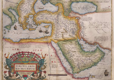
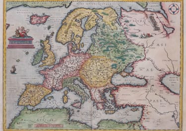
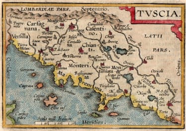
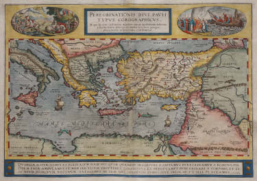
From about 1560, possibly as a result of his friendship with Mercator, Ortelius began to produce maps - an eight sheet world map being the earliest. At this time, Ortelius also began preparing his greatest project, the Theatrum Orbis Terrarum. Having already become probably the greatest cartographic bibliographer of the period, Ortelius was able to prepare 53 map sheets based on the most up-to-date information, which were engraved by Frans Hogenberg, and first published in 1570.
The atlas achieved instant fame as "the world's first regularly produced atlas" (Skelton), being the first atlas with maps prepared to a uniform format. It was also an immediate commercial success, being reprinted four times in 1570. . Over 30 different editions, with text in Latin, French, Dutch, German, Italian, English or Spanish, testify to the popularity and esteem attributed to the work. Marcel Van Den Broecke, whose fascinating work on Ortelius and his maps is often quoted, estimates that around 7300 complete atlases were published using a total of 234 copperplates, either replacements or reworkings as plates became out-dated, worn, or as new information became available. Amongst this latter category, the maps added in the 1580's and 90's of the world, the Americas, China, the Pacific, Japan, Peru and Florida, and Iceland are important historically and justly famous.The maps themselves are finely engraved, often very decorative and generally found with text on the reverse.
After Ortelius' death in 1598 the atlas continued to be printed and published by the Plantin Press. Between 1602 and 1609 it was published by Johann Baptist Vrients, who added a variety of fine maps including the very decorative large plates of England and Wales, and of Ireland. Publication reverted to the Plantin Press, under the control of the Moretus brothers, from 1612.
Although only the relatively unsuccessful atlases of De Jode and, ultimately, Mercator were published during the sixteenth century life of the Theatrum …, in 1607 Jodocus Hondius's issue of Mercator's Atlas ... with many newly prepared maps began to supersede Ortelius' work.
Ortelius's small Atlas The Epitome published from 1590 ran for many editions and was very popular.