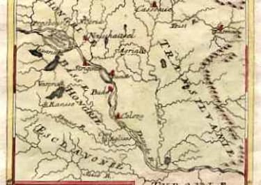
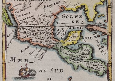
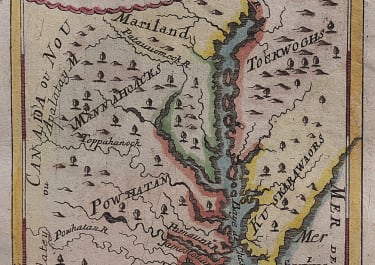
(VIRGINIA) VIRGINIE
Sold
Attractive early map of Virginia.Decorative example of the German edition of this sought after map of the Chesapeake. The map is based upon Augustine Hermann's map of 1673 and later maps of the region. Extends from the Saquesahanoug R in the North to Pomejok and C. de Trafalgar in the South, and inland along the Powhatan R and Toppoahonoc R. Jamestown is located, as is Smythe's Island?Excellent hand colour and in mint condition
code : M708
Cartographer : Mallet Alain
Date : 1685 Frankfurt
Size : 15*10.5cms
availability : Sold
Price : Sold
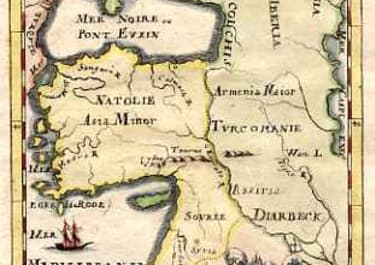
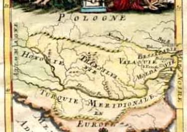
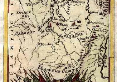
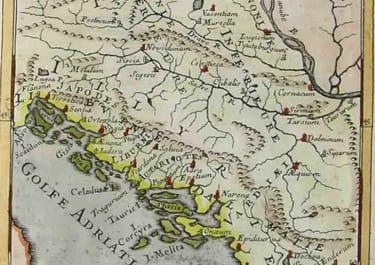
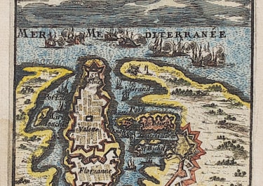
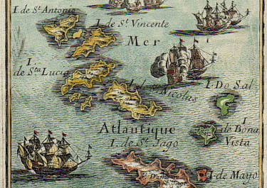
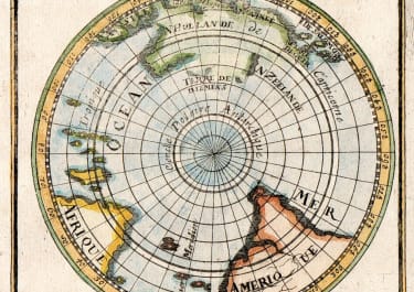
Alain Manesson Mallet (1630-1706) was a French cartographer and engineer.
He started his career as a soldier in the army of Louis XIV, became a Sergeant-Major in the artillery and an Inspector of Fortifications. He also served under the King of Portungal, before returning to France, and his appointment to the court of Louis XIV. His military engineering and mathematical background led to his position teaching mathematics at court.
His major publications were Description de L'Univers (1683) in 5 volumes, and Les Travaux de Mars ou l'Art de la Guerre (1684) in 3 volumes.
His Description de L'Universe contains a wide variety of information, including star maps, maps of the ancient and modern world, and a synopsis of the customs, religion and government of the many nations included in his text. It has been suggested that his background as a teacher led to his being concerned with entertaining his readers. This concern manifested itself in the charming harbor scenes and rural landscapes that he included beneath his description of astronomical concepts and diagrams. Mallet himself drew most of the figures that were engraved for this book.