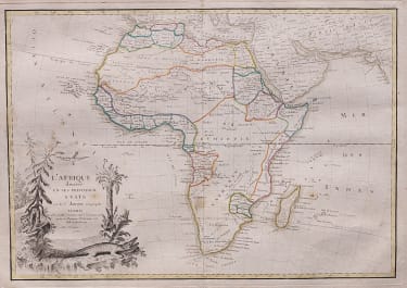
LES INDES ORIENTALES ET LEUR ARCHIPEL
£220
Scarce map of the India, Southeast Asia, the Straits of Malaca, Philippines, Sumatra, Java, etc. extending north to the Isle of Formosa, Canton and Macao, from Jean Lattre's Atlas Moderne.
Includes a decorative allegorical cartouche showing the region as a place of commerce.
Unusually this example has both original outline and wash colour.
Strong impression.
Very good conditions
code : M3158
Cartographer : JANVIER Jean
Date : 1762 Paris
Size : 33*46 cms
availability : Available
Price : £220
Jean or Robert Janvier (fl. 1746 - 1776) was a Paris based cartographer active in the mid to late 18th century. Janvier true first name is a matter of debate, as it appears as it often appears as either Jean or Robert. More commonly, Janvier simply signed his maps Signor Janvier. By the late 18th century Janvier seems to have been awarded the title of "Geographe Avec Privilege du Roi" and this designations appears on many of his latter maps. Janvier worked with many of the most prominent French, English and Italian map publishers of his day, including Faden, Lattre, Bonne, Santini, Zannoni, Delamarche, and Desnos.