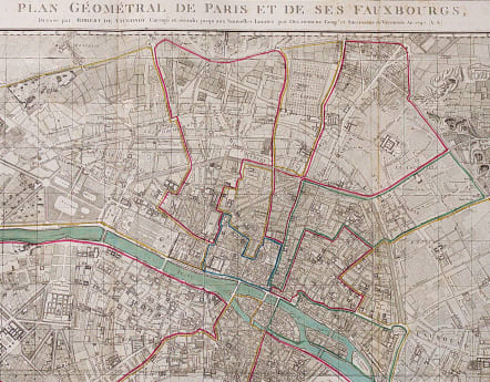
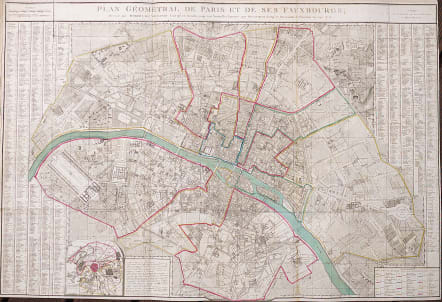
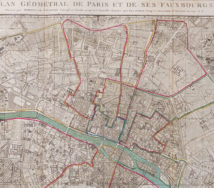
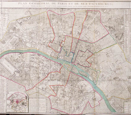
PLAN GEOMETRAL DE PARIS ET DE SES FAUXBOURGS
Sold
A larger version of Vaugondy's 1783 map issued by his successoe DeLaMarche.
Very detailed ..covers the area from Etoile to Place de Trone.
Place de Concorde is named as Place de Revolution..!!
Most streets named..
Original outline and wash colour. Small margin on bottom ..all printed surface there.
Very good condition
REF: Jean Boutier...Les Plans De Paris. 326. B
code : M3993
Cartographer : VAUGONDY ROBERT DE Family
Date : 1797 Paris
Size : 63.5*94 cms
availability : Sold
Price : Sold
The Robert de Vaugondy family responsible for map and globe publishing in Paris comprised Gilles Robert de Vaugondy (1688-1766) and Didier Robert de Vaugondy (1723-1786). The father (Gilles) and son (Didier) business flourished from 1731 to 1778.
Prominent at this time among French map-makers were the Robert de Vaugondy family, who made a substantial contribution to the eighteenth century world of cartography, through the breadth and success of their prolific output, which included atlases, maps, globes and book illustration.
While only a small part of their output, the "Atlas Universel" encapsulates the diligent and scientific approach adopted by the Roberts de Vaugondy, and proved to be the most successful French world atlas of the period. It appeared from c.1757 onwards.


