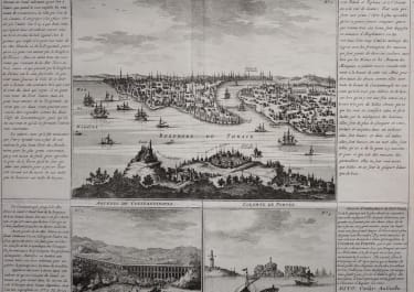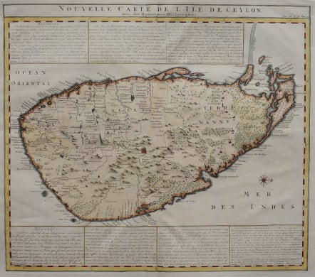
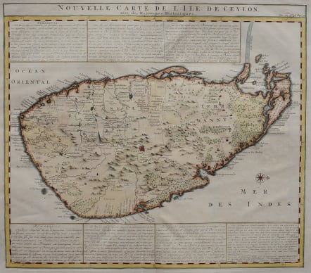
NOUVELLE CARTE DE L'ILE DE CEYLON
£365
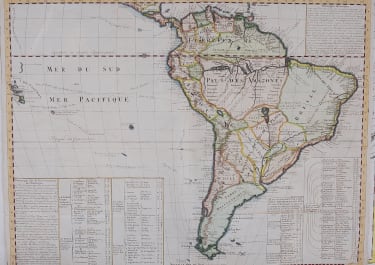
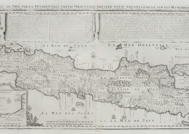
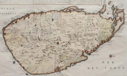
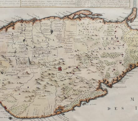
Very attractive and detailed map of Ceylon. The physical geography of the land shows forests, rivers, marshes, and mountains of varying size and distribution. Roads, Dutch forts, gem and salt mines are also noted throughout the map. Wild elephants are shown dispersed across the island. Near the center of the Ceylon, the main city of Candy is depicted as a walled fortress along the Vintana River. Above and below the map are several panels of French text describing the history of Ceylon.
Excellent hand colour
Excelent condition.
code : M4996
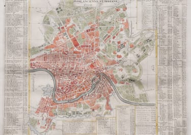
Cartographer : CHATELAIN Family
Date : 1719 Amsterdam
Size : 38*43 cms
availability : Available
Price : £365
Zacharie Chatelain (d.1723) was the father of Henri Abraham (1684-1743) and Zacharie Junior (1690-1754). They worked as a partnership publishing the Atlas Historique, Ou Nouvelle Introduction A L’Histoire … under several different Chatelain imprints, depending on the Chatelain family partnerships at the time of publication. The atlas was published in seven volumes between 1705 and 1720, with a second edition appearing in 1732. The maps were accompanied by information pertaining to cosmography, geography, history, chronology, genealogy, topography, heraldry, and costume of the world.