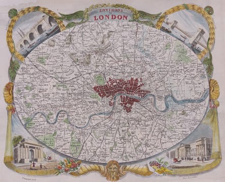
ENVIRONS OF LONDON
Sold
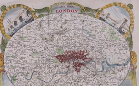
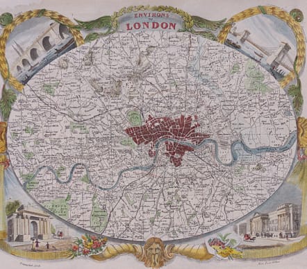
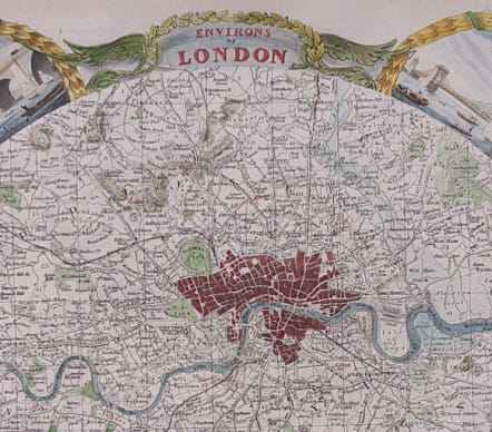
Attractive map of the area around London.
Based on James Bingley's Environs Of London map published earlier in 1828, it shows in oval format, the environs of London - extent: Finchley, Woolwich, Norwood, Hanwell.The surrounding decorations are comprised of a portrait of Old Father Thames at bottom centre, cornucopias representing the commerce, agriculture and riches of the Capital and surrounding districts. The vignettes are of New London Bridge, Hammersmith Suspension Bridge, The New Post Office and Triumphal [Marble] Arch. Noted as the rarest of Moule's maps.
Repair top left see photos
Good hand colour
Good condition.
code : M4348
Cartographer : Moule
Date : 1840c London
Size : 19.5*26 cms
availability : Sold
Price : Sold
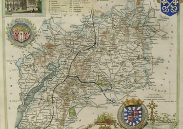
Maps by Thomas Moule (1784-1851) are probably, with those by Speed, the best known of all series of English county maps. Issued from 1830, the maps combine a clarity of cartographic style with immense detail, by way of vignette views, scenes and portraits relating to the county shown, often set within a gothic architectural or floral surround into which armorial devices and so on are worked. As editions of the maps were published, first in “The English Counties Delineated” and later in “Barclay’s English Dictionary”, the development of the network of railways throughout England can be observed.
Moule, like many other map-makers and map-sellers before him, was a man of many talents. As an author his output included books and papers on topography, history, genealogy, heraldry and architecture; the maps he designed show elements of these studies. The maps and plans produced for Moule’s “English Counties Delineated”, originally issued as a part-work, include maps of each English county, the towns of London, Bath, Boston, Portsmouth and Plymouth, and the Isles of Wight, Man and Thanet. Frequently entitled “the last series of decorative county maps”, they are good informative maps, as popular now as they were in the early years of Queen Victoria’s reign