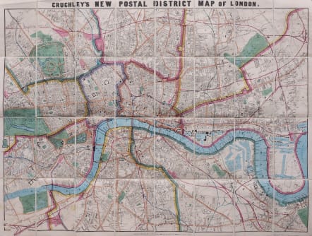
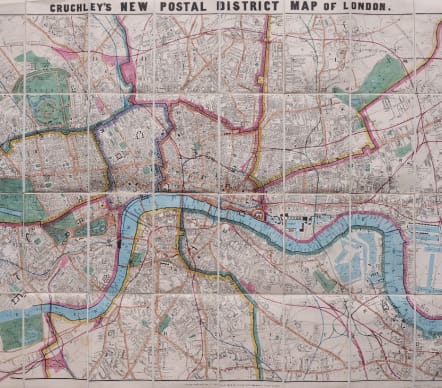
CRUCHLEY'S POSTAL MAP OF LONDON 1866
£475
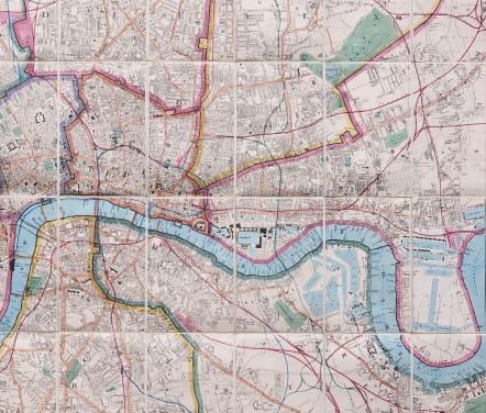
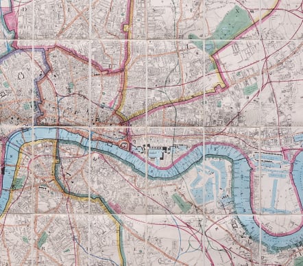
Superb mint condition original hand colour map of the postal districts of London.
A folding map backed on canvas with no discolouration on canvas.
Cruchley's postal district maps are quite rare.
This map with its hard cover is dated 1866 and shows all the developments of the railways.
The map is in pristine condition and the colours are fresh and strong.
Excellent condition for this stunning map
Covers the area from Battersea, Ketish Town, Homerton and Isle of Dogs and Greenwich.
code : M4494
Cartographer : Cruchley G F
Date : 1866 London
Size : 64*85 cms
availability : Available
Price : £475
London map maker

£595
British Isles

British Isles