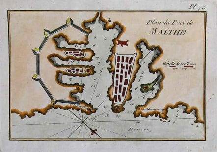
MALTA PLAN DU PORT DE MALTHE
Sold
Very attractive Roux Chart of the Port Valetta. With anchorages rhum lines etc.Shows fortifications.Strong impression on heavy paper.Excellent hand colour.V.good condition. archivecode : M1925
Cartographer : ROUX Joseph
Date : 900/ 1740 / Marseille
Size : 13*19cms
availability : Sold
Price : Sold
Joseph Roux.Marseilles.Published many sea charts and portolans.
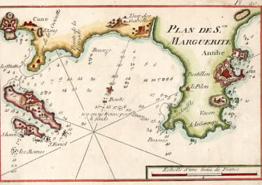
France

Spain & Portugal

Mediterranean & Islands