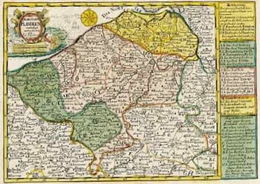
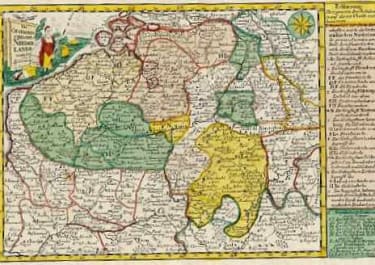
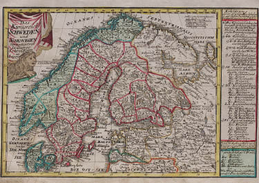
CHARTE VON DEM ENGELLAENDISCHEN U FRANZOESISCHEN..NORD AMERICA
Sold
Full Title Charte von dem Engellaendischen u. Franzoesischen Besitzungen in Nord America
This rare finely engraved map details the British and French colonies in North America on the eve of the French & Indian War. The coloring distinguishes the disputed region between the Appalachian Mountains and the Mississippi River. The newly formed (1752) colony of Georgia is included in the list of English colonies at lower right. The large Louisiane region east of the Mississippi is filled with Indian tribes and villages.
Original colour.
Slight dark marking in bottom right corner
Very good condition.
Publication: Atlas Selectus
code : M3614
Cartographer : Johan
Date : 1730/ 1753 Leipzig
Size : 18*24.5 cms
availability : Sold
Price : Sold
Johann Georg Schreiber (*1676 - 1745)
Johann Georg Schreiber, a German cartographer and geographer, was born 1676 and lived in Leipzig. His only work was the "Atlas Selectus" published first 1740 and reissued 1749. He died in 1745.


