L'AMERIQUE SEPTENTRIONALE DIVISEE EN SES PRINCIPAUX ETATS
Sold
Attractive Eighteenth centurey Americana.
This is the first edition of one of the more interesting 18th century maps of North America. An extensive network of rivers and lakes in the northern regions strongly suggest the possibility of a Northwest Passage. On the northwest coast is the gigantic, and entirely mythical Sea of the West, near modern Seattle, connected to the Pacific by the straits of Juan de Fuca and Martin d' Aguilar. New Albion is on the southwest shore of this great inland sea, which inundates virtually all of present-day British Columbia and Alberta. The British Colonies are still confined east of the Appalachian Mountains with French Louisiana stretching to the Pacific Northwest. Florida is controlled by Spain. The large, decorative title cartouche, incorporating a palm tree and grape vines, was drawn by Marillier and engraved by Berthault.
Original colour
Very good condition.
code : M3769
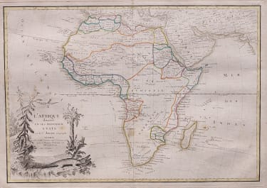
Cartographer : JANVIER Jean
Date : 1762 Paris
Size : 31.5*46 cms
availability : Sold
Price : Sold
Jean or Robert Janvier (fl. 1746 - 1776) was a Paris based cartographer active in the mid to late 18th century. Janvier true first name is a matter of debate, as it appears as it often appears as either Jean or Robert. More commonly, Janvier simply signed his maps Signor Janvier. By the late 18th century Janvier seems to have been awarded the title of "Geographe Avec Privilege du Roi" and this designations appears on many of his latter maps. Janvier worked with many of the most prominent French, English and Italian map publishers of his day, including Faden, Lattre, Bonne, Santini, Zannoni, Delamarche, and Desnos.