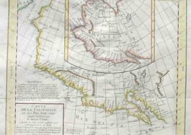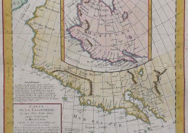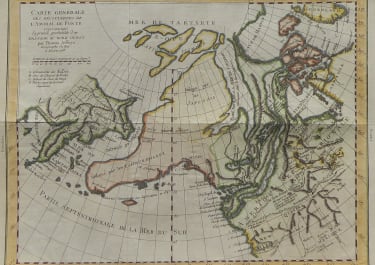
CARTE GENERALE DES DECOUVERTES DE L'AMIRAL DE FONTE, ET AUTRE NAVIGATEURS
Sold
This map is a re-engraving of Joseph-Nicolas De l'Isle's 1752 map showing the supposed discoveries of the Spanish explorer Admiral de la Fuente. Major amongst these discoveries is de la Fuente's version of a Northwest Passage, connecting the Atlantic with the Pacific via a series of lakes and rivers. De La Fuente's "expedition" proved to be as fictional as the Northwest Passage, and De Vaugondy certainly did not subscribe to these discoveries. The map also includes the fabulous 'Mer De L'Ouest,' a feature promulgated by the De l'Isles, and vast northern lakes also attributable to de la Fuente. Discoveries attributed to other explorers, namely Spanish, English, and Russian, are also noted. This is from the folio edition and there is only the centre fold.A lovely map in perfect condition with wide margins. References: Pedley, Bel Et Utile, number 454; Phillips, Geographical Atlases, number 1195
code : M69
Cartographer : VAUGONDY ROBERT DE Family
Date : 1772
Size : 29*37.5cms
availability : Sold
Price : Sold
The Robert de Vaugondy family responsible for map and globe publishing in Paris comprised Gilles Robert de Vaugondy (1688-1766) and Didier Robert de Vaugondy (1723-1786). The father (Gilles) and son (Didier) business flourished from 1731 to 1778.
Prominent at this time among French map-makers were the Robert de Vaugondy family, who made a substantial contribution to the eighteenth century world of cartography, through the breadth and success of their prolific output, which included atlases, maps, globes and book illustration.
While only a small part of their output, the "Atlas Universel" encapsulates the diligent and scientific approach adopted by the Roberts de Vaugondy, and proved to be the most successful French world atlas of the period. It appeared from c.1757 onwards.


