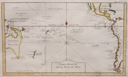
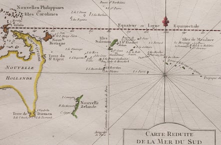
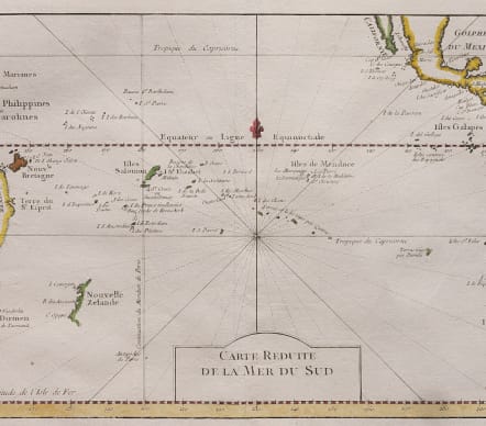
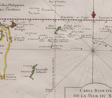
CARTE REDUITE DE LA MER DU SUD
Sold
An important map of Australia and New Zealand. Australia is attached to New Guinea and Tasmania attached to the mainland. The east coast is entirely imaginary. New Zealand includes only its western coast in an incomplete fashion. This map is remarkable in its historical significance, timed only a few years before the commencement of an intense campaign by the English and French to explore and map Oceana and the South Pacific. Extends from the Marianas and Carolines to the Coast of America, including Baja California, the Gulf of Mexico, Central America and the much of South America, including the Straits of Magellan and Cape Horn. A nice example of this essential collector's map. Tooley 158.
code : M4181
Cartographer : Jacques-Nicolas BELLIN
Date : 1753 Paris
Size : 21.5*36.5cms
availability : Sold
Price : Sold
Jacques-Nicolas Bellin (1703-1772) was one of the most important and prolific French cartographers of the mid-eighteenth century, in the service of the French Hydrographical Office. He was appointed the first Ingenieur Hydrographe de la Marine, and also Official Hydrographer to the French King.
Bellin was responsible for an enormous output of charts and maps. In a large folio format, he issued a volume of sea-charts of France, the Neptune Francois, and several sea-atlases of the World, including the Atlas Maritime and the Hydrographie Francaise. These large charts were amongst the best of the period and continued being reissued throughout the second half of the eighteenth century.
In smaller format, he issued the Petit Atlas Maritime (1764),which contained 580 detailed charts, as well as maps to illustrate l'Abbe Prevost's Histoire Generale des Voyages (1746-1757). Bellin also produced a substantial number of important separately issued maps, particularly reflecting continuing discoveries and political events in the Americas.


