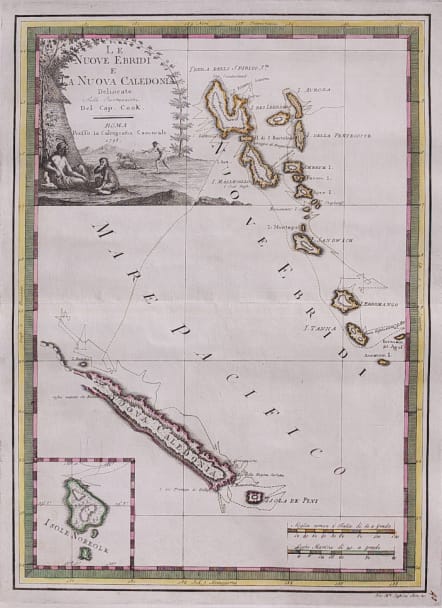
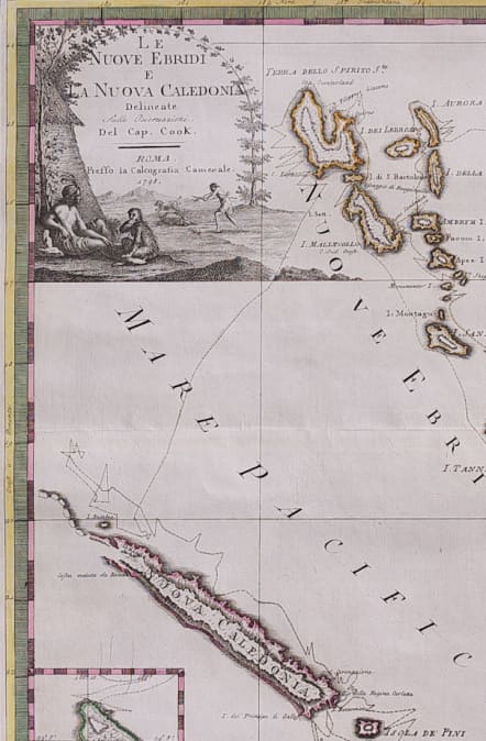
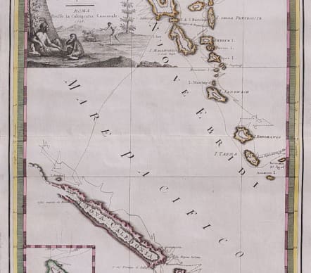
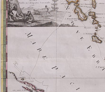
LE NUOVE EBRIDI E LA NUOVA CALEDONIA... DEL CAP COOK
Sold
Rare and attractive map of the New Hebrides and New Caledonia depicts the route of Captain Cook from July through September, 1774, during his second voyage. The inset at bottom left depicts the Australian Norfolk Island, which is south of New Caledonia. The map is embellished with a large title cartouche featuring natives hunting and an odd-looking monkey.
FIRST EDITION, CONTEMPORARY COLOUR
Excellent condition for this important map
code : M4314
Cartographer : ANON
Date : 1798 Rome'
Size : 48*34.5 cms
availability : Sold
Price : Sold

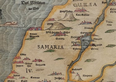
Middle East

Italy

France

South America


The Americas

British Isles


Asia


Pacific & Australasia


France

France

Middle East

Mediterranean & Islands
£95
France

£175
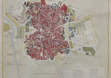
Italy

Middle East


World

France


£45
British Isles

Low Countries

£55
Pacific & Australasia

£135
British Isles

£125
France

£45
Italy

£50
France

£75
Scandinavia

£245
British Isles

£325
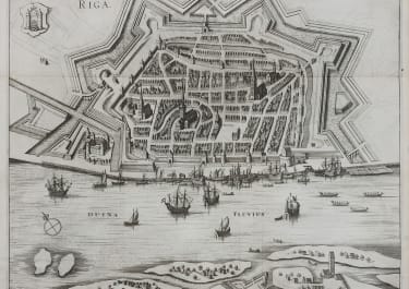
Russia

£395
France

£195
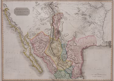
North America

£85
World

£75
Italy

Middle East

Middle East

Middle East

Middle East

British Isles


British Isles

£225
Middle East

£120
British Isles


£85
West Indies

France

£95
West Indies

Asia

£165
France


France

£185
North America

North America

British Isles


Middle East

British Isles

Pacific & Australasia

North America

£125
North America

British Isles

Asia

Europe Continent


South America

Spain & Portugal

World

Italy
Middle East

France


France

British Isles

North America

Asia


North America

North America

France

British Isles


£100
Italy


Africa

Pacific & Australasia

Greece

£35
France

British Isles

Pacific & Australasia


Scandinavia


North America

Europe Continent

Italy

North America

France

Pacific & Australasia

France


British Isles

France

France

Africa

South America
Spain & Portugal

Middle East

Asia

South America

Spain & Portugal

France

Pacific & Australasia


Scandinavia
North America

Italy


World

Pacific & Australasia

South America

France


South America

North America

South America


World

North America

North America

Russia

North America

British Isles


Scandinavia

France

France

Middle East


North America

Greece

British Isles

North America


Pacific & Australasia


Switzerland


West Indies