WORLD MAPPE-MONDE
Sold
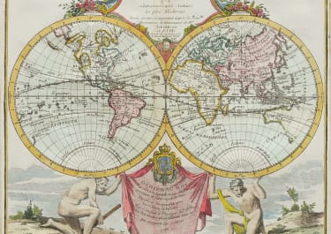
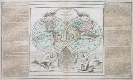
Very decorative double hemisphere map from one of the most decorative late 18th century French atlases. The map (24*27 cms) features the Sea of the West and a Northwest Passage in North America and a conjectural shape for Australia. The title and dedication cartouches are tucked between the cusps with the hemispheres supported on the shoulders of two naked men. Panels of French text flank the map . The map and border were printed from two separate plates and then assembled with the text panels for the atlas.
Full original colour.Very good condition.
code : M2611
Cartographer : Louis Brion de la Tour
Date : 1778 Paris
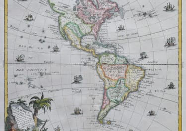
Size : 30*49 cms sheet map 24*27 cms
availability : Sold
Price : Sold
Louis Brion de la Tour (1756-1823) was the Cartographer Royal to the King of France.
There is little information about his life. His official title was "King's Engineer Geographer." Although he is a prolific geographer, very little is currently known of his life or his career. His life was spent in scientific work. However what is known is an important part of his work was done in collaboration with Louis Charles Desnos (1750-1790 to) a bookseller and geographical engineer for the globes and spheres of His Danish Majesty.
His son Louis Brion de la Tour, a pupil of Jean-Bernard Restout, was engraver of maps and documents of the Revolution, and was also an occasional portrait oil paintings.