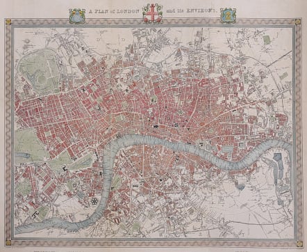
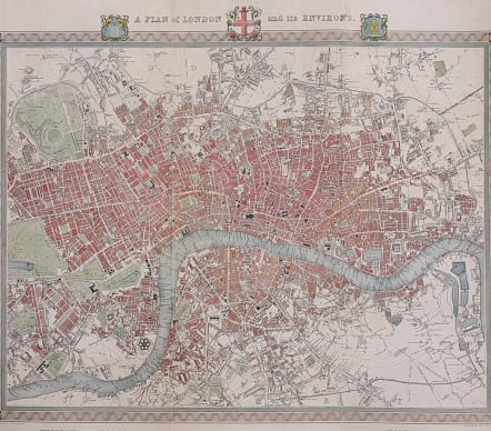
A PLAN OF LONDON AND ITS ENVIRONS
£445
'A PLAN of LONDON and its ENVIRONS.' by R. Creighton / J. & C. Walker / S. Lewis
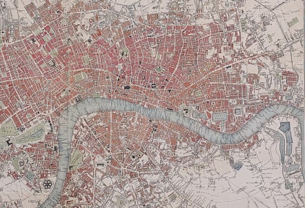
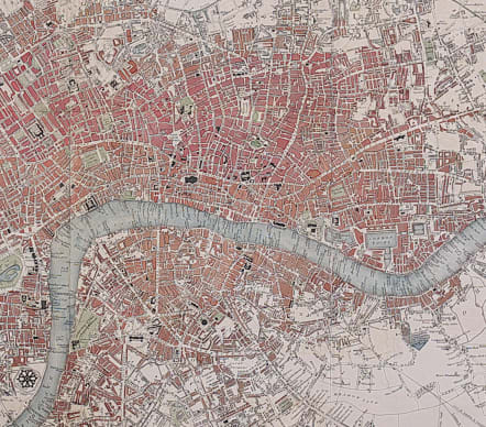
A very attractive plan of London and its Environs drawn by R. Creighton and engraved by J & C. Walker for "Lewis' Topographical Dictionary, 1834. The map covers an area from Hyde Park in the west to Limehouse and Rotherhithe in the east. Walworth in the south to Islington in the north.
Excellent hand colour.
Very good condition.
From Samuel Lewis's Topographical Dictionary of England
REF Howgego, Printed Maps Of London, 330 (3).
code : M3646
Cartographer : Walker.J
Date : 1831 / 1840 London
Size : 40*48 cms
availability : Available
Price : £445

British Isles

North America

North America