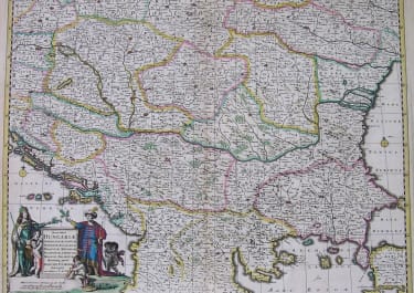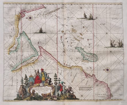
OCCIDENTALIOR TRACTUS INDIARUM ORIENTALIUM
£995
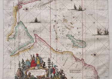
Full Title ; Occidentalior Tractus Indiarum Orientalium à Promontorio Bonae Spei ad C. Comorin.
Beautiful & exceptional maritime map from Louis Renard's Atlas de la Navigation, et du Commerce. 1715. Essentially a reissue of De Wit's wonderful maps.
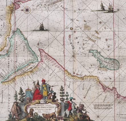
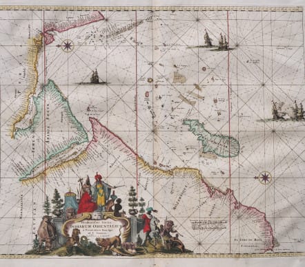
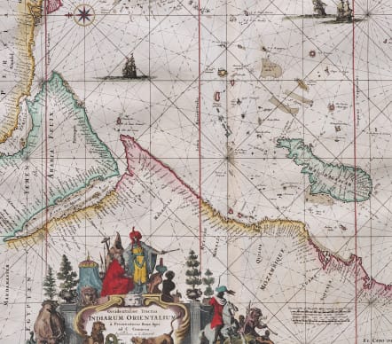
This decorative sea chart details the Indian Ocean from the Cape of Good Hope to Kanyakumari (C. Comorin) in India, and includes the Arabian Peninsula, Madagascar, the Maldives, and many smaller islands. Two compass roses orient north to the left, and detail is confined to the coasts with numerous place names. The interior of Africa contains an elaborate title cartouche featuring regional figures and animals, and the map is further embellished by several sailing vessels, with two engaged in battle.
First published circa 1675, de Wit's sea atlas, Orbis Maritimus ofte Zee Atlas, contained 27 charts from the North Pole to North and South America. The charts all appear to have been engraved by Romain de Hooghe and are splendid examples of Dutch marine works. The atlas was reprinted with amendments by Louis Renard in 1715, by Reinier and Josua Ottens in 1739
Excellent hand colour
Excellent condition
References: cf. Norwich #256; Shirley (BL Atlases) M.REN-1a; Tibbetts, G.R. #129.
code : M5553
Cartographer : WIT Frederick De
Date : 1715
Size : 44.5*54 cms sheet 54*64 cms
availability : Available
Price : £995
Frederick De Wit (1610-1698) was a prolific Dutch engraver and publisher, active in Amsterdam in the second half of the seventeenth century. He acquired a number of copperplates from the sale of the Blaeu and Jansson stocks to supplement his own plates, thus having a stock of about four hundred maps. De Wit’s own maps are noted for the fine standard of engraving, invariably well designed and decorative. They were very popular amongst his contemporaries, being reprinted many times both by himself and his successors, the Mortiers.