subscribe to our newsletter
Featured Collection

1753 Amsterdam
1655 Frankfurt
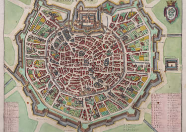
1640 Frankfurt
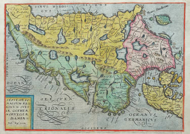
1638 Frankfurt

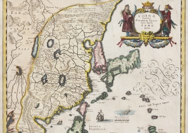
1690 Venice

1663 / 1723
Italy > Rome & South
Italy > Rome & South

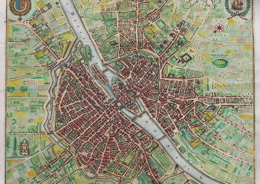
1676 Paris
The Americas
The Americas
1719 Amsterdam

1609 Amsterdam

1535
1762 Paris
France > South East
France > South East
