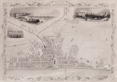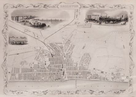
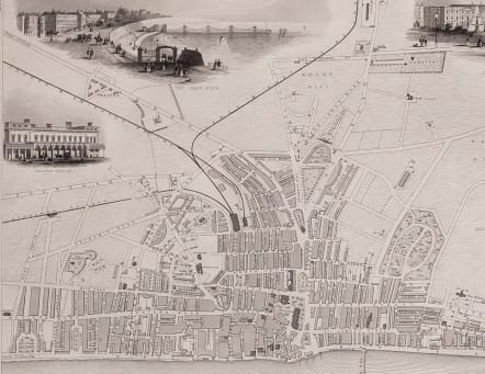
BRIGHTON
£150
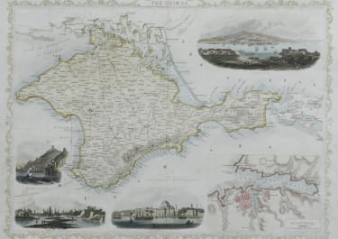
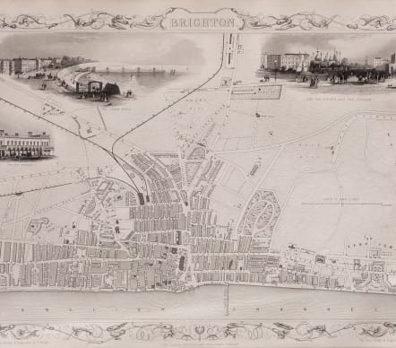
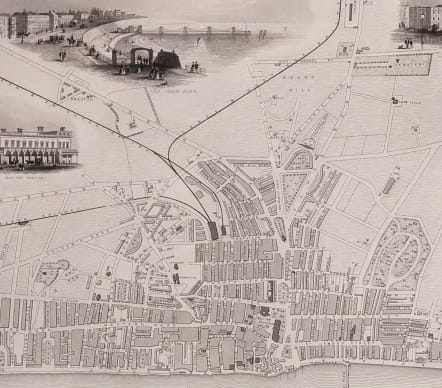
Very decorative mid-Victorian plan with vignettes drawn and engraved by H. Bibby, including View on the Railway Station, The Chain Pier, The Old Steyne and the Pavilion.
Publication: Tallis's Illustrated Atlas
Uncoloured as issued
Very good condition
code : M5546
Cartographer : John
Date : 1851
Size : 26.5*36 cms
availability : Available
Price : £150
John Rapkin (1815-1876) drew and engraved the maps for John Tallis’ renowned "Illustrated Atlas" published to coincide with the great exhibition in London in 1851. The maps were also later re-issued by the London Printing and Publishing Company, still bearing the Tallis imprint. Rapkin’s style is elegant and clear and considerable geographical detail and nomenclature is shown on the maps.