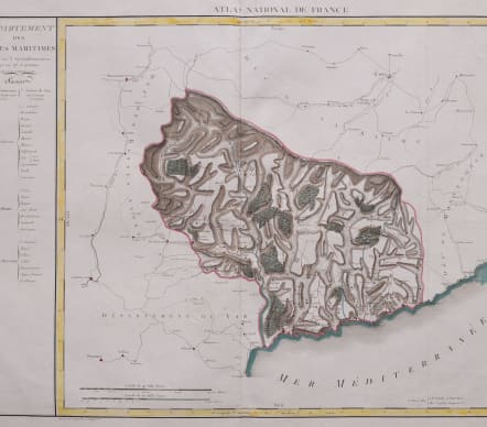
DEPARTMENT DES ALPES MARITIMES
£195
RARE
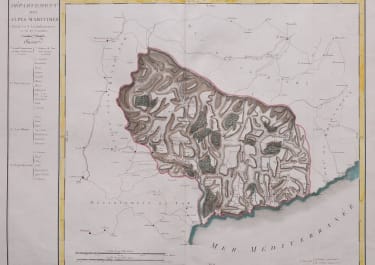
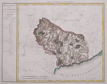
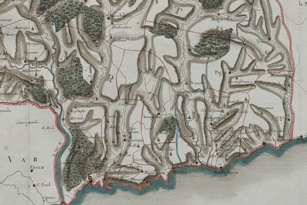
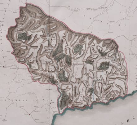
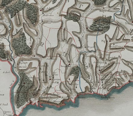
Striking and highly detailed interesting oversize original copper engraved map of the Alpes-Maritimes department, engraved by Pierre-Antoine Tardieu for the Atlas National de France, the first atlas of French departments. The map is filled with cities, towns, roads, rivers, forests and reliefs.
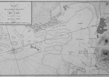
The first Alpes Maritimes covered the area from Nice, San Remo to Beuil Sur Roya.
The first Alpes-Maritimes department presented here was effective from 1793 to 1814. It corresponded to the County of Nice, a former state of Savoy annexed to France in 1793. In 1814, it returned to the Kingdom of Sardinia.
The boundaries of the districts are watercolored in blue, those of the cantons in red.
Superb copper engraving wioth original hand colour.
This is the only example I have seen in 35 years
Mint condition for this very scarce map..
code : M5507
Cartographer : Ambroise
Date : 1810c Paris
Size : 48*63 cms sheet size 55*77 cms
availability : Available
Price : £195
Ambroise Tardieu (1788-1841) was a prominent French cartographer and engraver operating in the late 18th and early 19th centuries. Tardieu's work is known for its beauty and accuracy as well as for its depth of detail