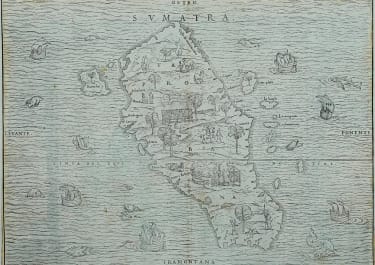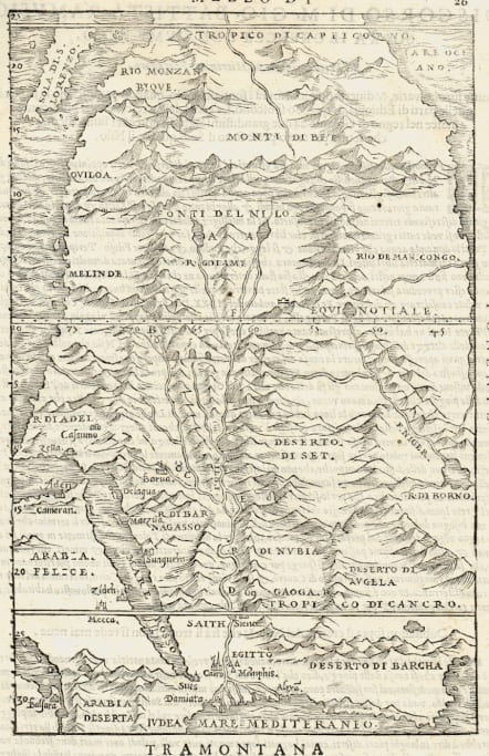
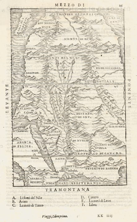
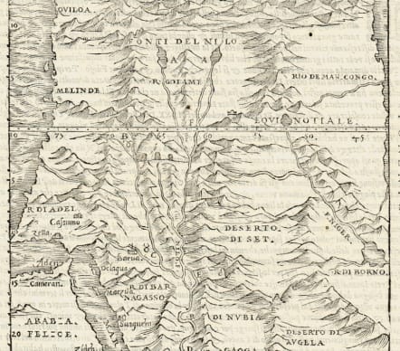
AFRICA MEZZO DI
£475
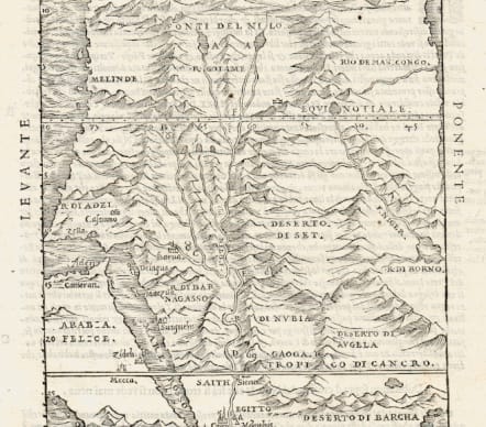
Very Scarce and detailed map of the eastern side of Africa by Ramusio. Ramusio's (Mezzo Di) map of Africa extends south to the Tropic of Capricorn and Madagascar.. The map shows North at the bottom of the map and is centered on the course of the Nile, which has its primary source in two lakes in Southern Africa. The map extends south to the Tropic of Capricorn and Isola Di S. Lorenzo (Madagascar). The Saudi Peninsula, Red Sea and Gulf of Aden are also shown, as is Mecca.
Giovanni Baptista Ramusio was Secretary to the Council of Ten in Venice for 43 years. His collection of reports on voyages is among the most important works of the period.
This map appeared in the second volume of Ramusio's Della Navigationi et Viaggi, a 3 volume work that was commenced in 1554, although this map, from volume 2, was not completed until 1559.
Curiously, the map is not referenced in either Tooley or Norwich. Very Scarce and detailed map of The eastern side of Africa by Ramusio.
Uncolured as issued
Mint condition
code : M5090
Cartographer : .Giovanni Battista Ramusio
Date : 1554 Venice
Size : 22.5*14.5 cms
availability : Available
Price : £475
Giovanni Battista Ramusio (1485-1557) was an Italian geographer who worked within the Venetian Empire. His father had been a magistrate and he himself served as a civil servant to Venice. He served throughout Europe, allowing him to build up a network of informants and a collection of travel materials. He compiled this information into his enduring masterpiece, Navigationi et Viaggi, in 1550 (first volume) and 1556 (third volume). The second volume appeared after his death in 1559, as the original manuscript had been destroyed by a fire.