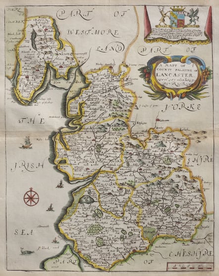
A MAPP OF COUNTY PALANTINE OF LANCASTER
Sold
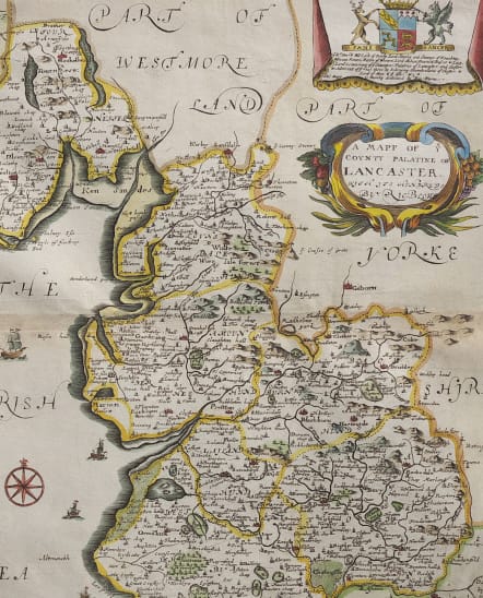
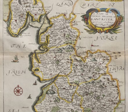
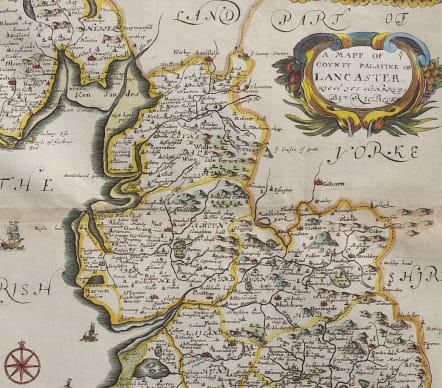
Attractive map of Lancashire. Very decorative with two cartouches, ships and a compass rose.
A 1st Issue example of this map by Richard Blome. Published in 'BRITANNIA or a Geographical Description of the Kingdom of England, Scotland and Ireland with the Isles and Territories thereto belonging'. Engraved by Wenceslaus Hollar (1607 - 1667).
Very detailed with forests roads etc. The geography generally taken from Speed
Excelent hand colour
Very good condition
code : M4785
Cartographer : Richard Blome
Date : 1673 London
Size : 33*26 cms
availability : Sold
Price : Sold
Richard Blome (1641-1705) was an English publisher and bookseller who flourished from about 1670 to 1705. He published two series of English county maps. The large series appeared in Blome's Britannia, or a Geographical Description of the Kingdomes of England, Scotland and Ireland, with each map measuring approximately 300 x 250mm. The smaller series, with the maps approximately 240 x 180mm, were published in Blome's Speed's Maps Epitomiz'd: or the Maps of the Counties of England.
Blome also issued a world atlas, the Geographical Description of the Four Parts of the World, in 1670, which was re-issued as the Cosmography and Geography, in 1682 and 1693. The maps from this atlas were Anglicized copies of Nicolas Sanson's work. Blome also issued a number of Bible maps, usually after Visscher.


