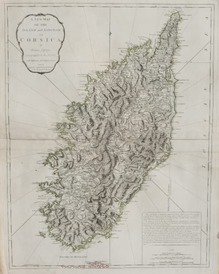
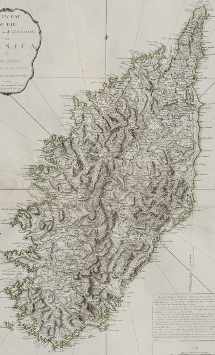
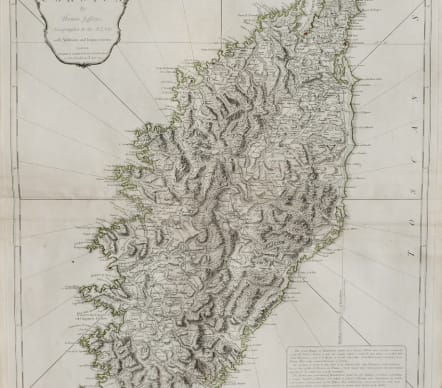
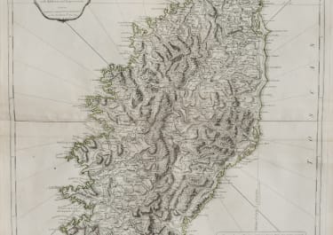
A NEW MAP OF THE ISLAND AND KINGDOM OF CORSICA BY THOMAS JEFFERYS GEOGRAPHER TO THE KING
£395
Extra large folio map of Corsica by T Jefferys and published by Laurie & Whittle Fleet Street London.
This map of the birth country a city (Ajaccio) was printed during the height of the French Revolution.
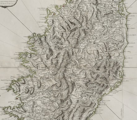
Detailed large format map of Corsica. Includes highly detailed topographical details, including mountains, roads, rivers, bays, and other details. Text note in the lower right corner. Some original outline colour. Cartouche.
Very good condition for this detailed attractive map
code : M5151
Cartographer : Jefferys T
Date : 1794 London
Size : 51*65 cms
availability : Available
Price : £395
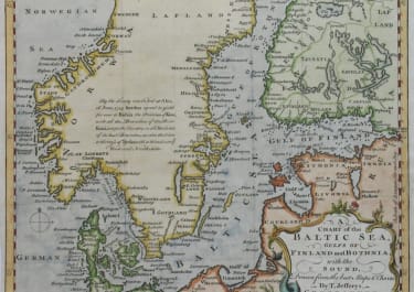
Scandinavia
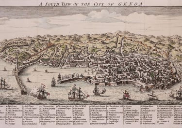
Italy

Spain & Portugal
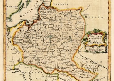
Eastern & Central Europe

France
Asia
