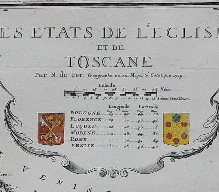
LES ETATS DE L'EGLISE ET DE TOSCANE
£450
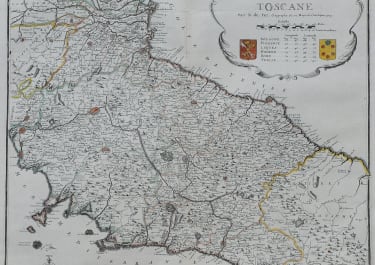
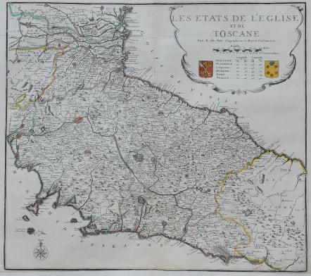
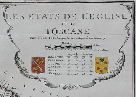
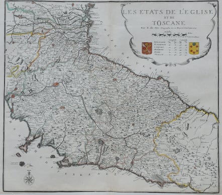
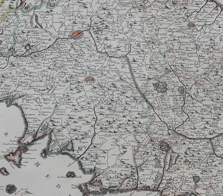
"Les e´tats de l'e´glise et de Toscane" was created by Nicolas de Fer in 1719. It is part of a larger folio atlas produced by de Fer, known for its comprehensive geographical detail.
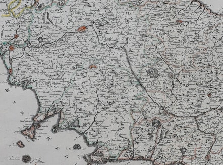
The map is a hand-colored engraving, the use of color highlights territorial boundaries and key geographical features, aiding in the map's utility and aesthetic appeal.
The style is typical of early 18th-century cartography, characterized by elaborate decorative elements, such as the ornate title cartouche in the upper right corner. The map features a compass rose in the bottom left corner, which is both decorative and functional, providing orientation for the viewer.
The map depicts the Papal States and the region of Tuscany in Italy. It details the political boundaries, major cities, and geographical landmarks of the time. Key cities like Bologna, Florence, Rome, and Venice are marked, serving as significant cultural and political centers.
This work reflects the political landscape of Italy during the early 1700s, a period marked by intricate territorial divisions. The map provides insight into the political and religious influence of the Papal States, as well as the significance of Tuscany as a cultural and economic region.
Large map in very good condition
code : M5661
Cartographer : DE FER Nicolas
Date : 1719 Paris
Size : 52*58 cms sheet size 54.5*72 cms
availability : Available
Price : £450
Nicolas de Fer (1646-1720) was the son of Antoine de Fer, also a map engraver and colourist in his own right who had worked with Nicolas Berey and acted as an editor for Pierre Duval's "Cartes De Geographie ..." of 1657. However, it was Nicolas who was to become one of the most prolific publishers of his time.
De Fer was able to make the publishing business flourish and in 1690 he was nominated as geographer to the Dauphin - their relationship had reciprocal benefits with De Fer producing, in effect, royal propaganda concerning the Dauphin's lands with each publication enhancing his own name and reputation, as well as that of the Dauphin. When the Duke of Anjou ascended the throne in 1702, De Fer had the dual title of "geographe du roi d'Espagne et du Dauphin".
De Fer published a number of atlases including the "Cotes de France" of 1690 (containing Tassin's maps) and the "Forces de l'Europe ou Introduction a la fortification", also of 1690, that reinforced his abilities and success with the buying public. Subsequent publications included the "Petit et Nouveau Atlas", which appeared in 1697, followed by the "Atlas Curieux". The "Atlas Curieux" was well-known and popular, being expanded in successive editions between 1700 and 1705, and was re-edited in 1714 and 1716 under the title "Suite de l'Atlas Curieux". De Fer also produced a number of folio maps that appeared in the "Atlas ou Recueil de cartes", which was published in 1709.