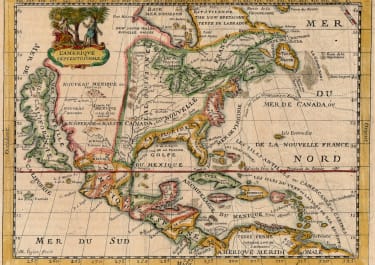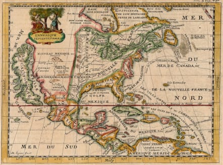
L'AMERIQUE SEPTENTRIONALE
£300
This scarce, map is very similar to the De la Feuille map of the same title (McLaughlin #147). It features a huge island of California with an indented coastline on the Fox model and the place names R. d' Estiete, C. Blanco, P. de Carinda, Canal de S. Barbe, I. de S. Martin, I. de S. Marc, B. de S. Francisco, B. de Simon, B.S. Christoue and Bernabe. The Rio Grande (Rio Bravo ou de Nort) is shown quite correctly for the period with its source in the mountains north of Santa Fe. The map is divided into French, British and Spanish colonial possessions. The map is decorated with a lovely little figural cartouche, and a ghost of a previously engraved adornment can be seen in the lower left part of the map.
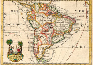
Although published in 1705 the accompanying map of South America is dated 1699 .. So it is more than likely that the Ogier map of North America was engraved at same time as the South America map .
Good hand hand colour
V good condition
Published in
Nouvele Metode pour apprendre La Geographie Universelle ... Par De La Croix a Lyon chez Jaques Lions Rue Merciere au bon Pasteur MDCCV 1705
M Ogier (French fl. 1676 -1710
code : M5670
Cartographer : Ogier.M
Date : 1699 / 1705 Lyons
Size : 15.5*22 cms
availability : Available
Price : £300