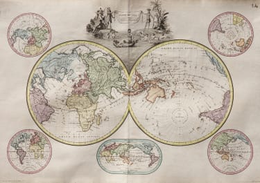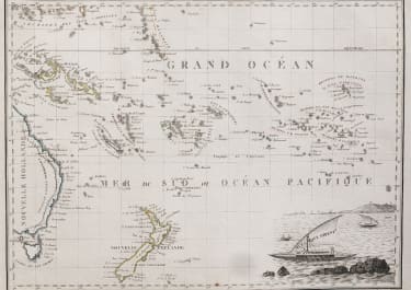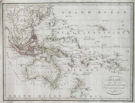
AUSTRALIA NEW ZEALAND OCEANIE OU AUSTRALASIE ET POLYNESIE
Sold
Detailed map of South-East Asia, Indonesia, Australia, parts of the South Pacific, and New Zealand. Includes also Japan and the Philippines.But important as early map of Australia. Interesting early names Pt Stephens being the closest port to present day Sydney. Terre de Grant, Terre De Flinders etc.Original outline colour.Very good condition.
code : M2623
Cartographer : LAPIE Pierre
Date : 1816 Paris
Size : 22.5*30 cms
availability : Sold
Price : Sold
Pierre M. Lapie (fl. 1779 - 1850) and son Alexandre Lapie (fl. 1809 - 1850) were French cartographers and engravers active in the early part of the 19th century. Lapie (Pierre), cartographer, born at Mezieres in 1771, died in 1850, was admitted in 1794 to the corps of topographical engineers, in that capacity he made several campaigns, rose to the rank of Colonel of Staff, and in 1814 became director of the topographical cabinet of the king, was, from 1818 he was responsible for the direction of the new topographic map of France, and had the greatest part in the execution of this magnificent work. He published a classic Atlas (1812), which was improved in several successive editions, and a Universal Atlas of Ancient and Modern Geography (1828), one of the best of his era.