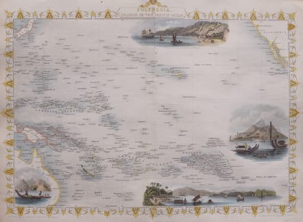
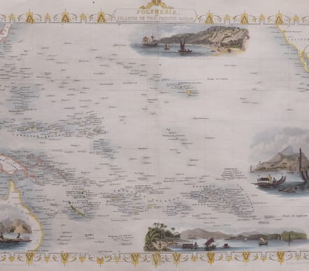
POLYNESIA OR ISLANDS IN THE PACIFIC OCEAN
£150
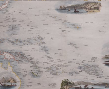
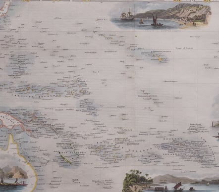
Attractive and detailed map of the southern Pacific Ocean from Australia to California.
Large vignettes of Kalakakooa Sandwich Islands, Otaheite, the Harbour of Dory in New Guinea and Resolution Bay, Marquesas.
The view of Captain Cook's landing at Hawaii is anaccurate depiction of the original view published in the Official Journal for Cook's Third Voyage.
Coloured vignettes
Decorative border
Excellent condition
code : M3905
Cartographer : Tallis John
Date : 1851 London
Size : 25*32 cms
availability : Available
Price : £150
TALLIS, John
active 1838-1851
John Tallis founder of Tallis and Co., London map publishers who traded under various names: L. Tallis, Tallis & co, John Tallis, John Tallis & co. (London & New York) between 1838 and 1851. After 1850-51, their maps were published by the London Printing and Publishing Co., London and New York.
The Illustrated Atlas of the World, published in 1849 with the maps and decorative vignette's engraved and drawn by J. Rapkin, was one of the last atlases to be truly decorated and is therefore highly prized.