Antique Maps of Polar. Gallery of authentic historic and rare maps of Polar from the 16th to the 19th centuries.
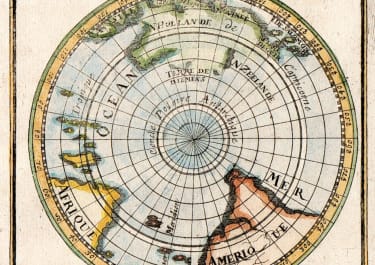
Polar

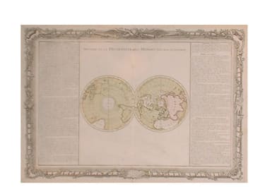

Polar

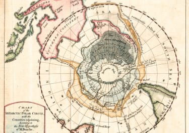
Polar