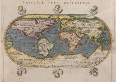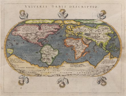
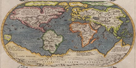
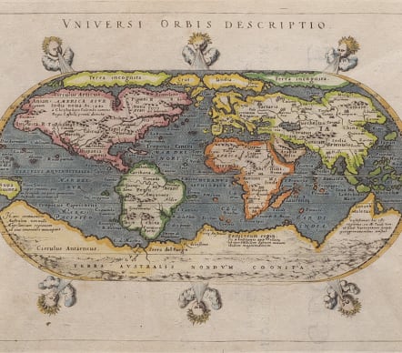
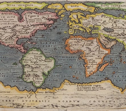
UNIVERSI ORBIS DESCRIPTIO
£595
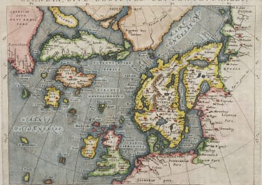
Stunning and finely engraved small world map.
This copper engraved 16th century map is based on the oval projection popularized by Ortelius. Engraved in this small format by Girolamo Porro, with six windheads arranged around the outside border. From the 1597 edition.
Of particular interest is the famous great bulge at the southwestern coast of South America, the great south polar continent (the vast “Terra Australis Nondum Cognita” which circles the southern world), and the northern ocean passages (a Northwest Passage is indicated across the American Arctic).
The map comes from a scarce pirate edition published by Petrus Keschedt in Cologne one year after the publication of Magini's original work. Ortelius informed Magini in November 1597 about this and the publication was stopped till 1608
Good hand colour
Excellent condition
From: Geographicae Universae tum veteris novae . . . Auctore Io. Ant. Magino. Cologne, P. Keschedt, 1597. - Pirate edition after Magini's original work of 1596.
Reference: Shirley, R. “The Mapping of the World” # 195
code : M5514
Cartographer : MAGINI Giovanni
Date : 1597 Cologne
Size : 13.5*18 cms sheet 16*22 cms
availability : Available
Price : £595
Giovanni Antonio Magini (1555-1617) was born in Padua, Italy, and studied medicine, mathematics, astronomy and philosophy at the University of Bologna where he was later to become a professor of astronomy. He corresponded with many of the renowned figures of the age including Ortelius, Tycho Brahe, Galileo and Johanes Kepler. He authored various works on astronomy and also produced the first printed atlas of Italy, which was published posthumously by his son Fabio. Other works included the "Geographiae Universiae" (1597) and "Moderne Tavole Di Geografia" amongst others.