AFRICA
Sold
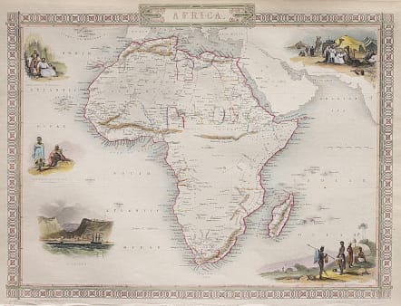
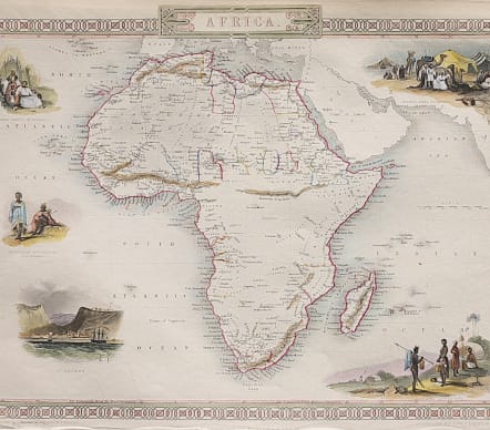
Very attractive mid century map of Africa with the up to date discoveries.
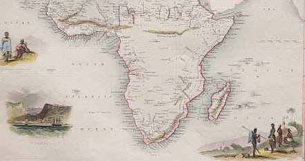
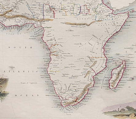
The map has five vignettes entitled: "Arab Family Of Algeria", "Bosjesman Hottentots Wild Bushmen", "St. Helena", "Bedouin Arabs Encampment", and "Korranna Hottentots". the map shows clearly how well defined the coastline was and how little of the continent's interior was known at this time.
Good hand colour
Very good condition.
Publication : An Illustrated Atlas of the World.
code : M3815
Cartographer : Tallis John
Date : 1851 London
Size : 25*32 cms
availability : Sold
Price : Sold
TALLIS, John
active 1838-1851
John Tallis founder of Tallis and Co., London map publishers who traded under various names: L. Tallis, Tallis & co, John Tallis, John Tallis & co. (London & New York) between 1838 and 1851. After 1850-51, their maps were published by the London Printing and Publishing Co., London and New York.
The Illustrated Atlas of the World, published in 1849 with the maps and decorative vignette's engraved and drawn by J. Rapkin, was one of the last atlases to be truly decorated and is therefore highly prized.