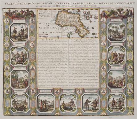
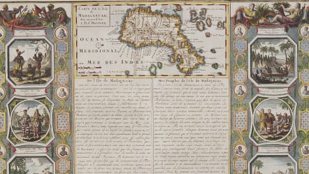
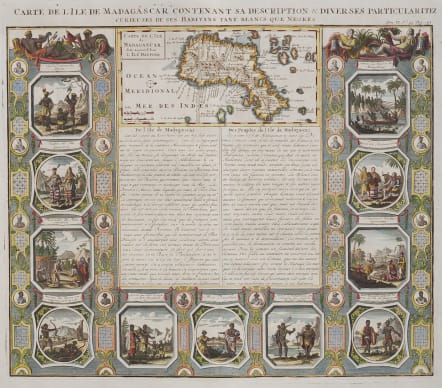
CARTE DE L'ISLE DE MADAGASCAR CONTENANT SA DESCRIPTION..
£295
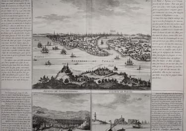
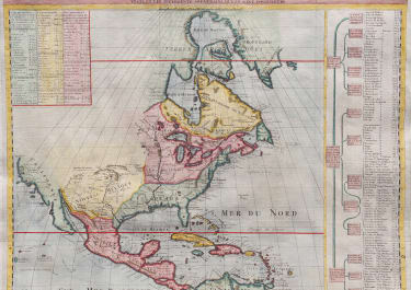
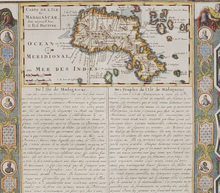
This is one of the most decorative plates from the Atlas Historique. The folio sheet includes a map of the island of Madagascar surrounded by elegantly engraved views of the people and their customs. Incorporated into this carte-a-figures style border are small medallion portraits illustrating the various native tribes. The map is oriented with north to the right and most of the islands in the vicinity are misplaced. The French text below the map discusses the land and its people.
Superb hand colour
Mint condition for this stunning map
code : M4038
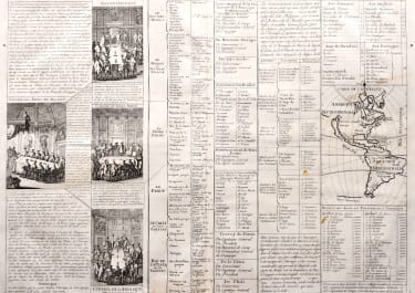
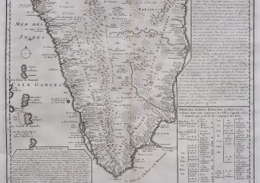
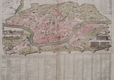
Cartographer : CHATELAIN Family Henri & Zacharie
Date : 1719 Paris
Size : 38*43 cms
availability : Available
Price : £295
Zacharie Chatelain (d.1723) was the father of Henri Abraham (1684-1743) and Zacharie Junior (1690-1754). They worked as a partnership publishing the Atlas Historique, Ou Nouvelle Introduction A L’Histoire … under several different Chatelain imprints, depending on the Chatelain family partnerships at the time of publication. The atlas was published in seven volumes between 1705 and 1720, with a second edition appearing in 1732. The maps were accompanied by information pertaining to cosmography, geography, history, chronology, genealogy, topography, heraldry, and costume of the world.