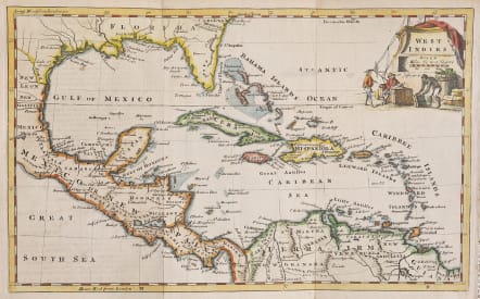
WEST INDIES
Sold
Attractive map of the Gulf Coast, Caribbean and Central America, from Port Royal, South Carolina. Nice example of the St. John's River misconception and the misshapen Florida, after Herman Moll. The Bahamas are shown in great detail, as is the entire Caribbean. Nice detail throughout central America. Fort Louis in Texas is shown, along with Bernard's or Louis Bay. And Lake St. Joseph. A number of forts showin along the Gulf Coast.
Decorative cartouche
Excellent hand colour
Very good condition
code : M4548
Cartographer : Jefferys T
Date : 1762 London
Size : 18.5*30 cms
availability : Sold
Price : Sold

France
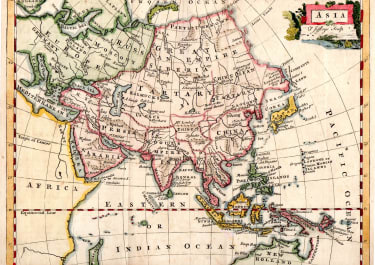
Asia

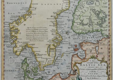
Scandinavia
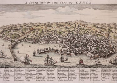
Italy

Spain & Portugal
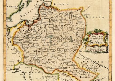
Eastern & Central Europe
France
Asia
Scandinavia
Italy
Spain & Portugal
Eastern & Central Europe