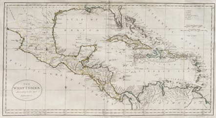
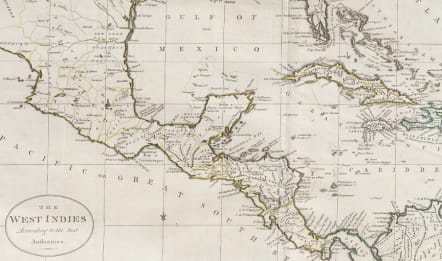
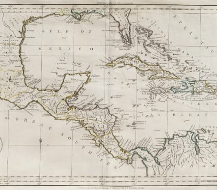
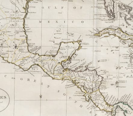
THE WEST INDIES ACCORDING TO THE BEST AUTHORITIES
£95
Nice map of the West Indies, extending from Mexico and the Pacific Coast to the Windward Islands, centered on Florida and Cuba. Interesting English nomenclature, with place names. Colored to show the various territorial possessions, although not entirely accurately so.
Most likely engraved by T Kitchen
Outline colour
Minor near invisiblr repair
Very good condition
code : M5250
Cartographer : GUTHRIE William
Date : 1783 London
Size : 29*53.5 cms sheet 32*55.5 cms
availability : Available
Price : £95
Atlas Universel pour la Geographie de Guthrie reengraved by Blondeau

Eastern & Central Europe

Low Countries

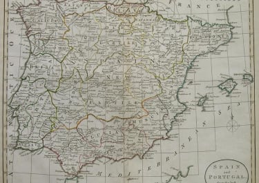
Spain & Portugal

Scandinavia

North America
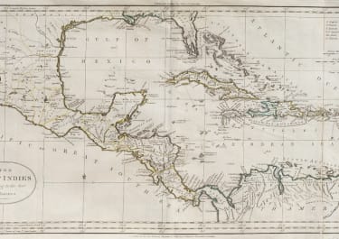
West Indies