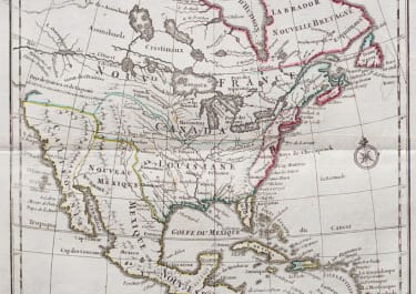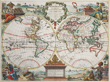
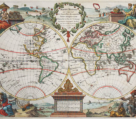
MAPPE MONDE QUI COMPREND LES NOUVELLES DECOUVERTES..1748
£750
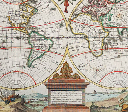
Superb double hemisphere map with the female representations of the continents adorning each corner. The Northwest part of North America is nearly blank except for a complex river and lake system alluding to a Northwest Passage. "Nouvelle Hollande" is shown with the known coastlines connected between the mainland, Tasmania and New Guinea, creating an oddly shaped landmass.
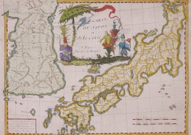
.Geographical features include a vast Terra Incognita in North America, a misshapen Japan and New Guinea appended to Australia. Tasmania is depicted as a peninsula.
This map in fact identical to the 1713 Van Der Aa map except for the title.
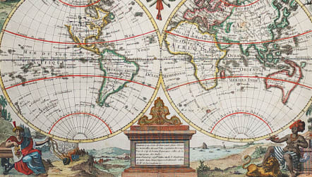
Excellent hand colour
Mint condition
code : M4121
Cartographer : ROUGE LE Georges-Louis
Date : 1748 Paris
Size : 23*30.5 cms
availability : Available
Price : £750
Lieutenant George-Louis Le ROUGE
Lieutenant George-Louis Le Rouge (c.1712-c.1790) was born in Hanover, Germany. He became a Lieutenant in the regiment of Saxe before establishing himself as a publisher, compiler and editor of maps in Paris. He later became the “Ingenieur Geographe de Roi”.
Le Rouge is particularly known for such atlas works as the “Atlas Nouveau” of 1746 and the “Atlas Nouveau Portatif ...” or the “Introduction A La Geographie” of 1756 – French publications of some merit.
Le Rouge was initially a military “Ingenieur” for fortifications and he was also a map-maker for the army and Marine Royale. He was active between 1740 and 1780, in Paris at, rue des Augustins.