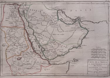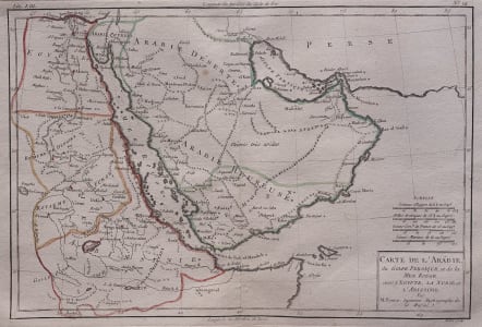
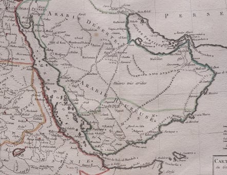
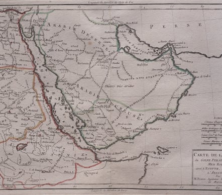
CARTE DE L'ARABIE DU GOLFE PERSIQUE ET DA LA MER ROUGE
£140
A good detailed map by Rigobert Bonne and G. Raynal . of the Arabia and Abyssinia (Ethiopia).
Covers from the Nile Delta south as far as the Horn of Africa and West to Persia, inclusive of the modern day countries of Ethiopia, Egypt, Saudi Arabia, Yemen, Oman, Kuwait, the and the United Arab Emirates. Offers surprising detail considering that his part of the world was largely unknown to Europeans. Identifies towns, rivers, some topographical features, ports and political boundaries. Dangerous reefs and other undersea dangers that historically hindered trade in the Red Sea and the Persian Gulf are tentatively ghosted in.
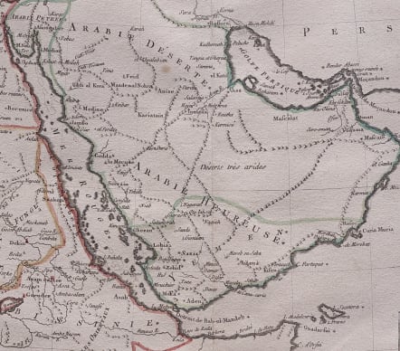
This is better and less common of Bonne's 2 maps of Arabia
Drawn by R. Bonne for G. Raynal’s Atlas de Toutes les Parties Connues du Globe Terrestre, Dressé pour l'Histoire Philosophique et Politique des Établissemens et du Commerce des Européens dans les Deux Indes .
Outline colour
Very good condition
code : M5566
Cartographer : BONNE Rigobert
Date : 1780 Paris
Size : 22.5* 33 cms Sheet size 26.5*42 cms
availability : Available
Price : £140
Rigobert Bonne (1727-1795), a prolific French cartographer, was active between about 1760 and 1788, working in the French Hydrographical Office, and appointed as Hydrographer to the French King.
Bonne prepared a large number of charts, some of which appeared in the Atlas Maritime. Today, he is best known for the smaller maps that he prepared for Raynal’s Atlas de Toutes Les Parties Connues du Globe Terrestre, published in 1780, and the Atlas Encyclopedique, published in conjunction with Nicholas Desmarest. Although the maps are relatively plain, dispensing with the decorative embellishment of mid-century, they are detailed and provide good coverage of newly discovered regions.