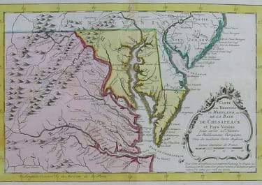
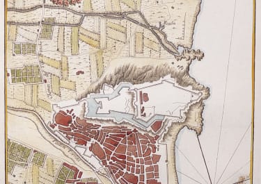
PLAN DE LA NOUVELLE ORLEANS
£465
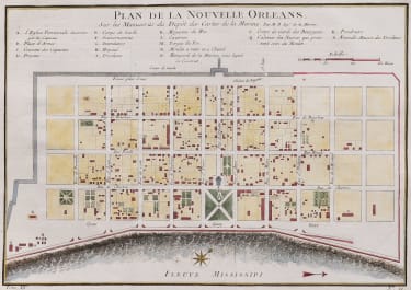
Important and one of the earliest obtainable maps of New Orleans. .
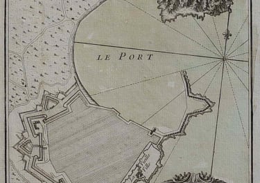
Oriented to the east, Bellin's map covers the original settlement of New Orleans along the Mississippi River and inland as far theFosse plein d'eau (roughly translated: 'Pit full of Water') near modern day Dauphine Street, and from modern day Iberville Street (shown but not named) to modern day Barracks Street (shown but not named). The map shows some 100 buildings with some 18 specifically identified via an alphabetically coded table set just above the map.
Among the locations noted in the key is one that provides an eerie echo of the slave trade. Item Q is identified as Cabanes des Negroes qui prennent soin Moulin or 'Cabins of Negros that care for mill.' Note how these cabins, as well as the adjacent mill, are both well outside the ordered structure of the city as well as conveniently located near the Corps de Garde des Bourgeois.
Excellent hand colour
Very good condition
Date of the first edition: 1757
Date of this map: 1757
References: Charting Louisiana, #171
From: Prevost d'Exiles, L'Histoire Generale des Voyages. Paris, 1757.
code : M5192
Cartographer : Jacques-Nicolas BELLIN
Date : 1757 Paris
Size : 19*27.5 cms sheet 25*33 cms
availability : Available
Price : £465
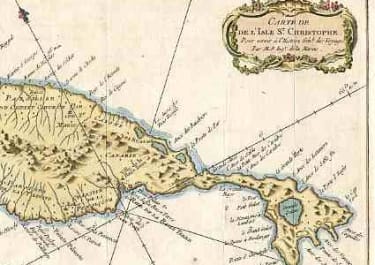
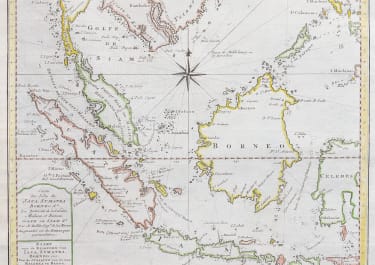
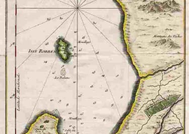
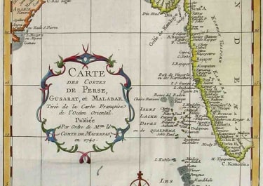
Jacques-Nicolas Bellin (1703-1772) was one of the most important and prolific French cartographers of the mid-eighteenth century, in the service of the French Hydrographical Office. He was appointed the first Ingenieur Hydrographe de la Marine, and also Official Hydrographer to the French King.
Bellin was responsible for an enormous output of charts and maps. In a large folio format, he issued a volume of sea-charts of France, the Neptune Francois, and several sea-atlases of the World, including the Atlas Maritime and the Hydrographie Francaise. These large charts were amongst the best of the period and continued being reissued throughout the second half of the eighteenth century.
In smaller format, he issued the Petit Atlas Maritime (1764),which contained 580 detailed charts, as well as maps to illustrate l'Abbe Prevost's Histoire Generale des Voyages (1746-1757). Bellin also produced a substantial number of important separately issued maps, particularly reflecting continuing discoveries and political events in the Americas.


