KARTE VON DER INSEL MONTREAL ..
£185
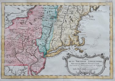
Attractive German version of Bellin's map of the islands of Montreal and Jesus in great detail.
Montreal (here Stadt Maria) is depicted as a walled and fortified city. Forts Karen Spitze, Se. Annen, Senneville, Se. Geneviere, Roland, la Chine, etc. are located; as are the surrounding islands of Se. Therese, Ronde, Se. Helen, Perot and Bizard.
Two distance scales and compass rose add interest to the fine chart.
Dated 1744, but published in 1756 by Arkstee & Merkus.
This map is the rarer first edition, the second later edition has title in a cartouche.
Excellent hand colour
Very good condition
References: Kershaw #1089.
code : M5281
Cartographer : Jacques-Nicolas BELLIN
Date : 1744 / 1756
Size : 25*31.5 cms sheet sheet 26.5*33.5 cms
availability : Available
Price : £185
Jacques-Nicolas Bellin (1703-1772) was one of the most important and prolific French cartographers of the mid-eighteenth century, in the service of the French Hydrographical Office. He was appointed the first Ingenieur Hydrographe de la Marine, and also Official Hydrographer to the French King.
Bellin was responsible for an enormous output of charts and maps. In a large folio format, he issued a volume of sea-charts of France, the Neptune Francois, and several sea-atlases of the World, including the Atlas Maritime and the Hydrographie Francaise. These large charts were amongst the best of the period and continued being reissued throughout the second half of the eighteenth century.
In smaller format, he issued the Petit Atlas Maritime (1764),which contained 580 detailed charts, as well as maps to illustrate l'Abbe Prevost's Histoire Generale des Voyages (1746-1757). Bellin also produced a substantial number of important separately issued maps, particularly reflecting continuing discoveries and political events in the Americas.