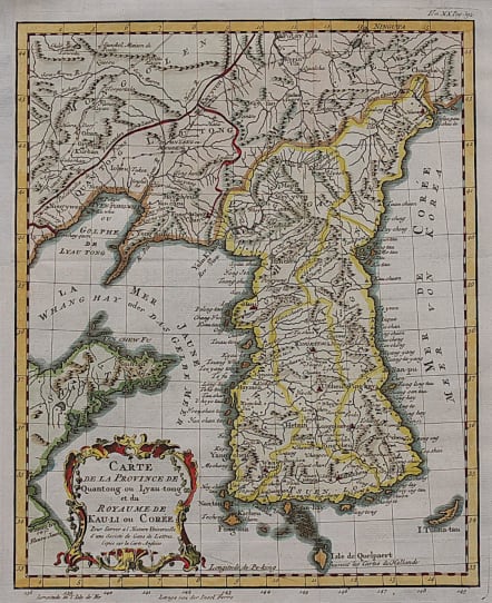
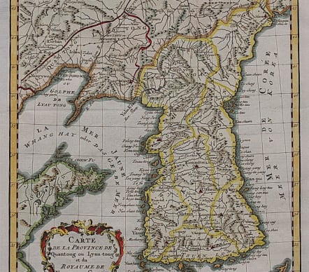
CARTE DE LA PROVINCE DE QUANTONG OU LYAU-TONG ET DU ROYAUME DE KAU-LI OU COREE
Sold
Rare map of Korea
An Attractive and pretty accurate early map of Korea by the French Royal Hydrographer Jacques-Nicolas Bellin.
Geography for this map came from D'Anville, whose superb Atlas of China had recently been published.
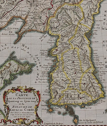
. The map is filled with information on the topography, hydrography and settlements. The Sea of Japan is here called Mer de Coree. Decorated with a rococo-style title cartouche.
Excellent hand colour
Very good condition.
code : M3666
Cartographer : Jacques-Nicolas BELLIN
Date : 1760 Paris
Size : 27*22 cms
availability : Sold
Price : Sold
Jacques-Nicolas Bellin (1703-1772) was one of the most important and prolific French cartographers of the mid-eighteenth century, in the service of the French Hydrographical Office. He was appointed the first Ingenieur Hydrographe de la Marine, and also Official Hydrographer to the French King.
Bellin was responsible for an enormous output of charts and maps. In a large folio format, he issued a volume of sea-charts of France, the Neptune Francois, and several sea-atlases of the World, including the Atlas Maritime and the Hydrographie Francaise. These large charts were amongst the best of the period and continued being reissued throughout the second half of the eighteenth century.
In smaller format, he issued the Petit Atlas Maritime (1764),which contained 580 detailed charts, as well as maps to illustrate l'Abbe Prevost's Histoire Generale des Voyages (1746-1757). Bellin also produced a substantial number of important separately issued maps, particularly reflecting continuing discoveries and political events in the Americas.


