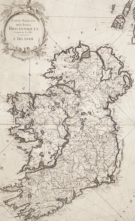
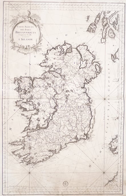
CARTE REDUITE DES ISLES BRITANNIQUES CINQUIEME FEUILLE CONTENANT IRELANDE
Sold
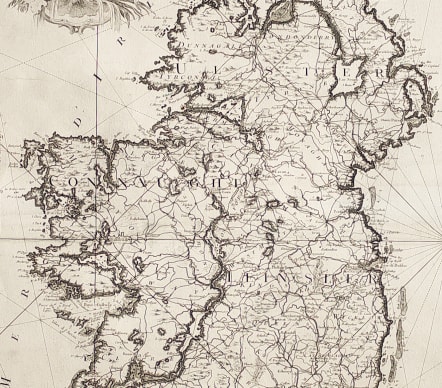
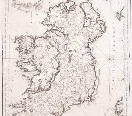
Large size and finely engraved sea chart showing the whole of the Island of Ireland and focusing on its coastlines.
Superb large-scale sea chart covering all of Ireland and a bit of the western coasts of England, Wales and Scotland. The chart is beautifully engraved and is appointed with rhumb lines and a decorative title cartouche.
Carries the imprint of the Depot de La Marine. Double page map on thick paper.
Uncoloured as issued
Good condition
code : M3949
Cartographer : Jacques-Nicolas BELLIN
Date : 1756 Paris
Size : 88*56 cms
availability : Sold
Price : Sold
Jacques-Nicolas Bellin (1703-1772) was one of the most important and prolific French cartographers of the mid-eighteenth century, in the service of the French Hydrographical Office. He was appointed the first Ingenieur Hydrographe de la Marine, and also Official Hydrographer to the French King.
Bellin was responsible for an enormous output of charts and maps. In a large folio format, he issued a volume of sea-charts of France, the Neptune Francois, and several sea-atlases of the World, including the Atlas Maritime and the Hydrographie Francaise. These large charts were amongst the best of the period and continued being reissued throughout the second half of the eighteenth century.
In smaller format, he issued the Petit Atlas Maritime (1764),which contained 580 detailed charts, as well as maps to illustrate l'Abbe Prevost's Histoire Generale des Voyages (1746-1757). Bellin also produced a substantial number of important separately issued maps, particularly reflecting continuing discoveries and political events in the Americas.


